Project objective
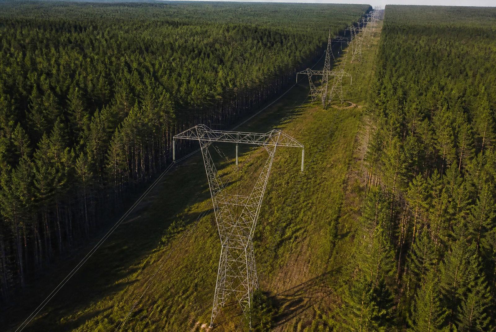
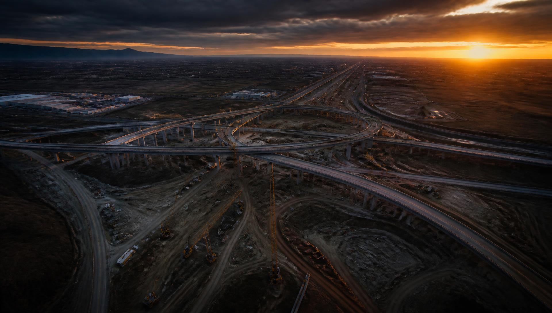
Provide current corridor topography and imagery to support a roadway widening study.
Deliverables
- CAD surface (DXF/DWG)
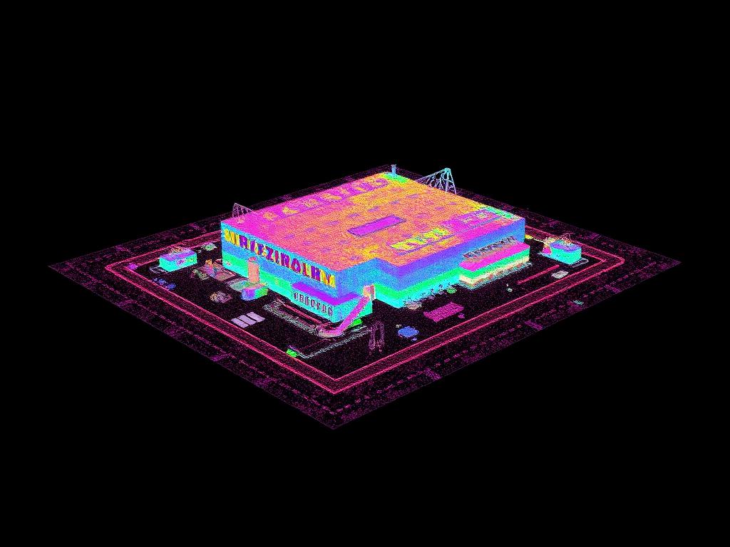
- Point cloud (LAS)
- Orthomosaic (GeoTIFF)
- Control documentation
Results
Design staff worked from current site conditions without closing lanes for field survey.
Aerial mapping supports the survey workflow; boundary and control determinations remain with the licensed surveyor of record.
Deliverables
Before and after
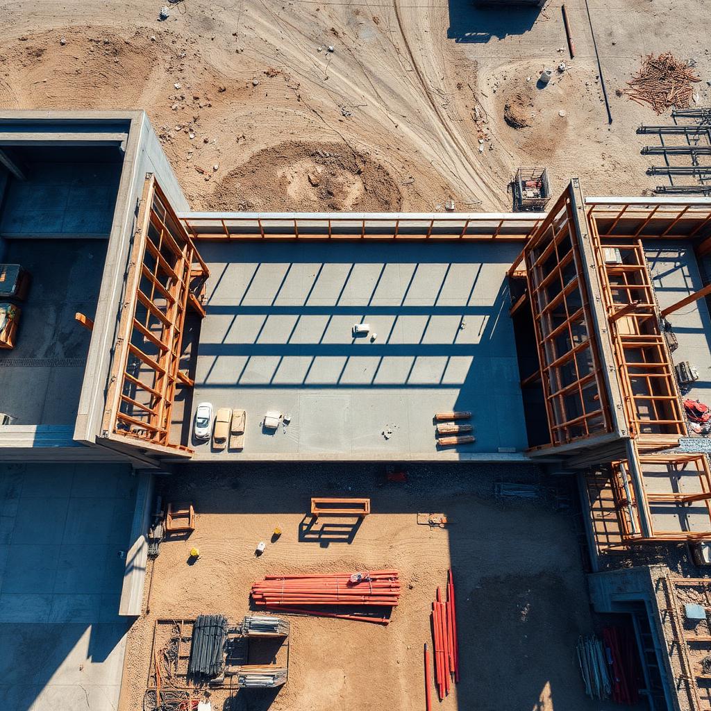
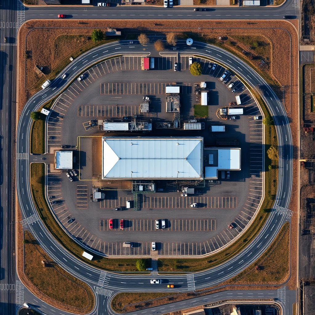
↔
OrthomosaicRaw capture