Project objective
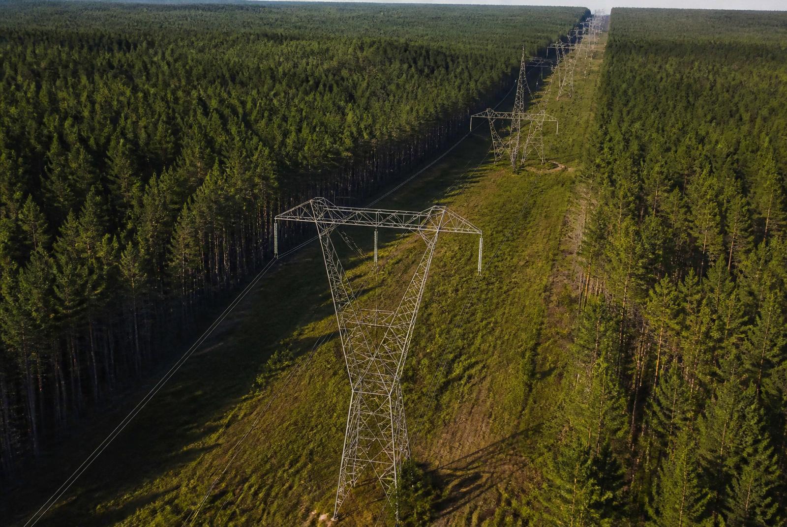
Capture structure-level condition imagery and document vegetation encroachment along an energized corridor.
Deliverables
- Structure photo sets
- Condition findings log
- Vegetation encroachment map
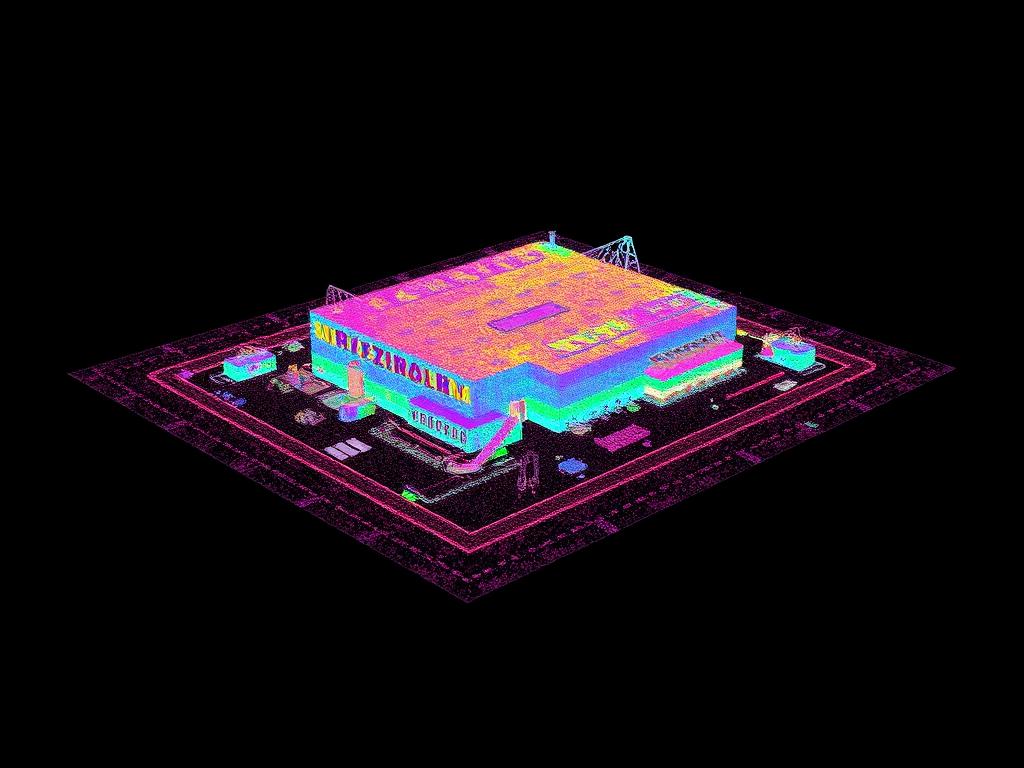
- Corridor point cloud
Results
Field crews were dispatched with location-specific imagery instead of general work orders.
Inspection imagery supports, but does not replace, a qualified engineering assessment.
Deliverables
Before and after
↔
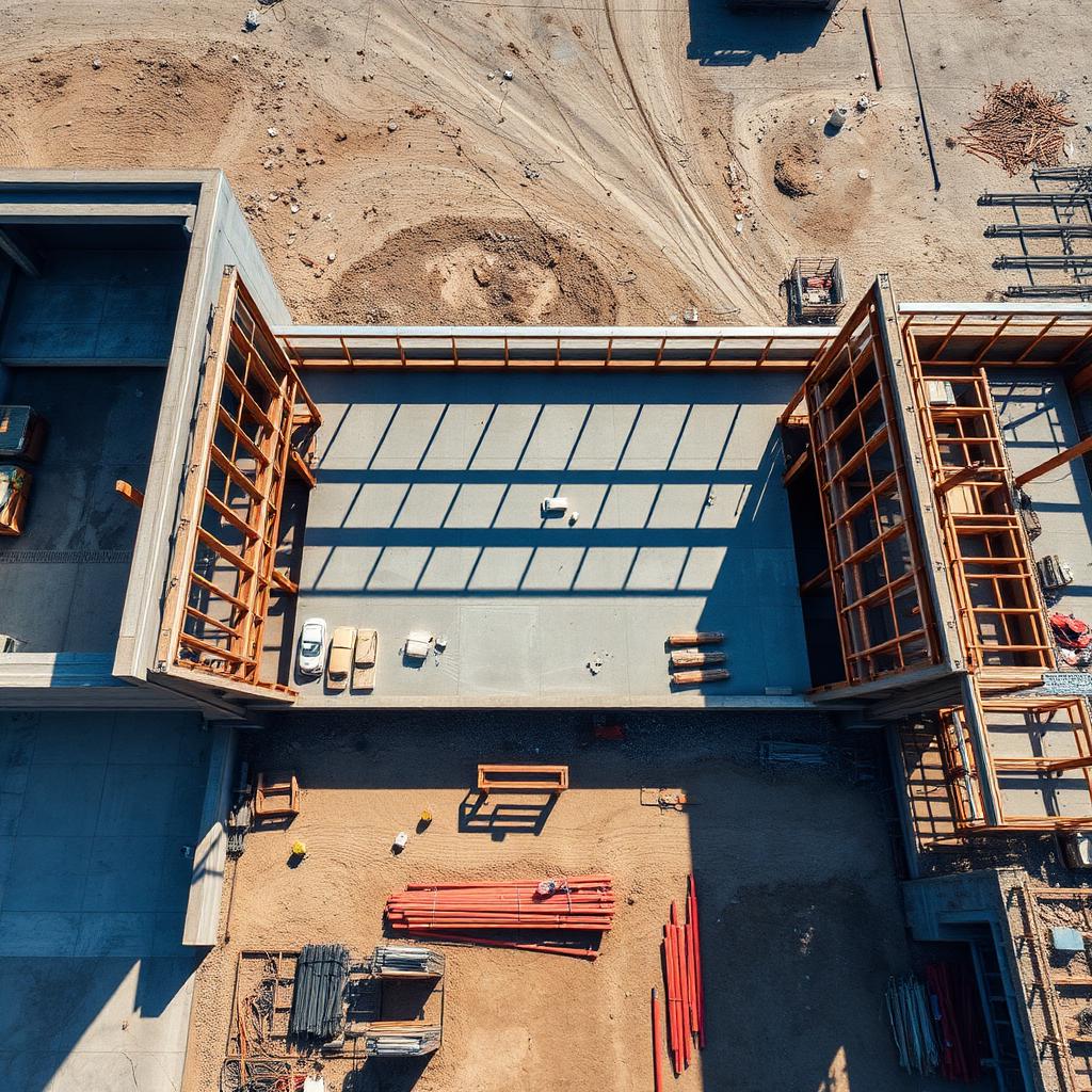
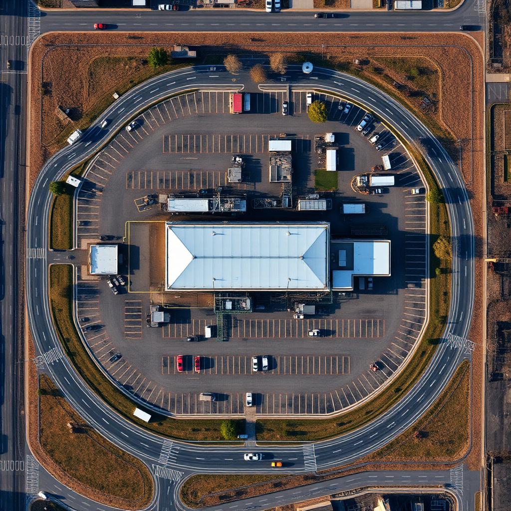
OrthomosaicRaw capture