Project objective
Refresh current aerial imagery for assessor use, public works mapping and the parish GIS basemap.
Deliverables
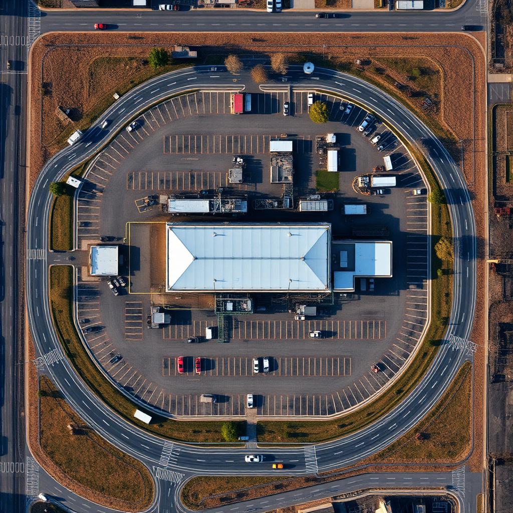
- GeoTIFF orthomosaic
- Tiled web layer
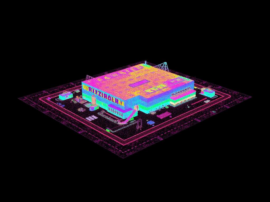
- DSM and DTM
- KMZ overview
Results
Staff were able to review current conditions in GIS without scheduling field visits.
Representative project profile. Accuracy depends on control method, site conditions and equipment used.
Deliverables
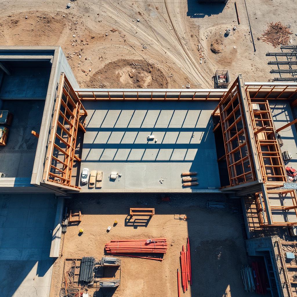
Before and after
↔
OrthomosaicRaw capture