Project objective
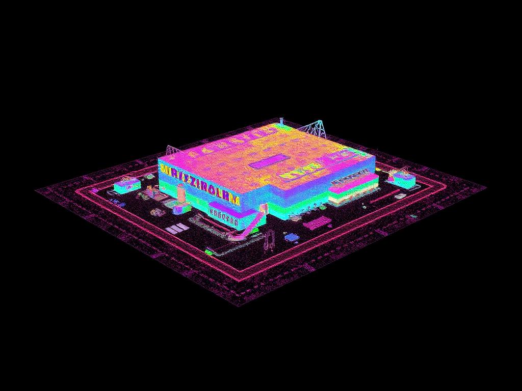
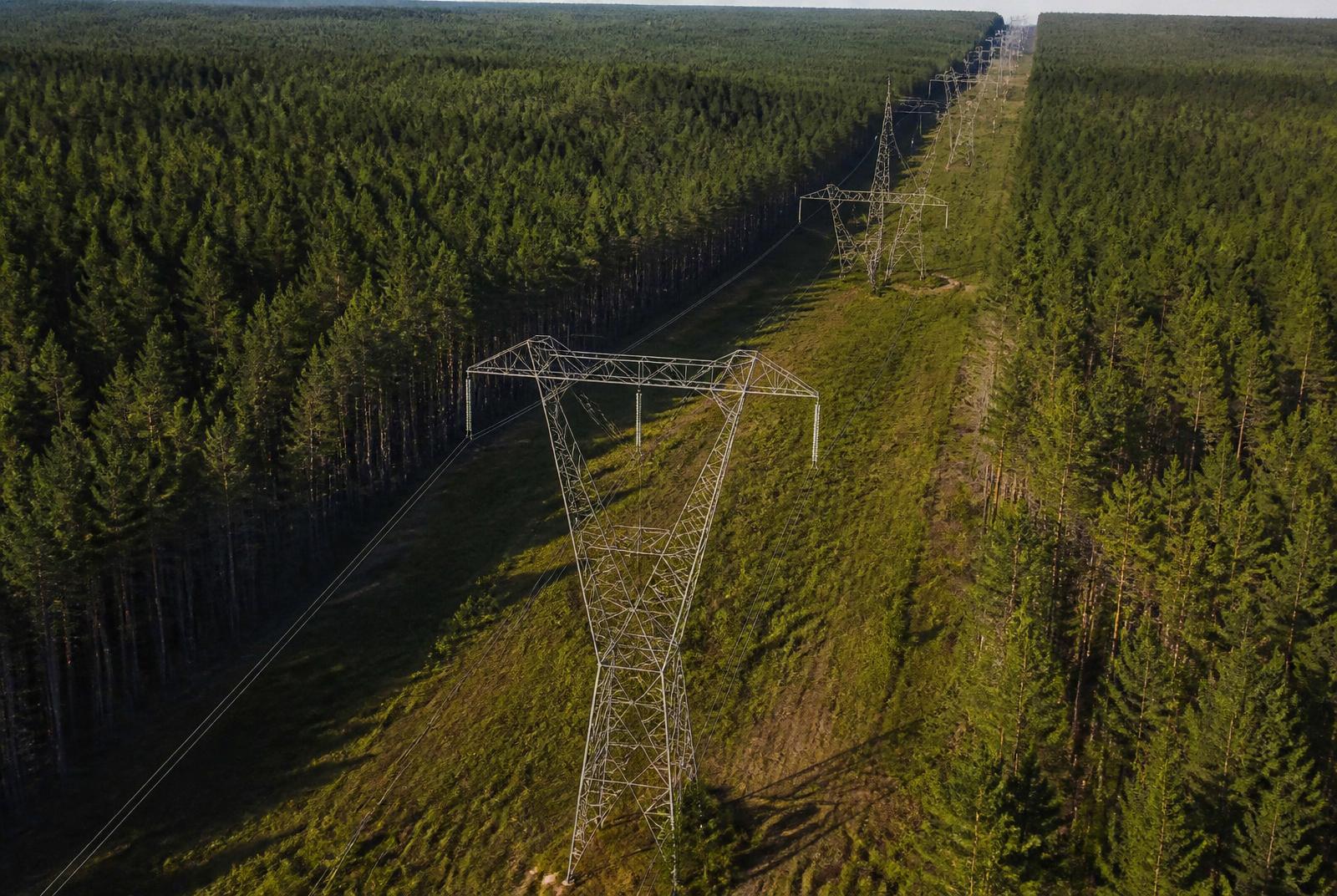
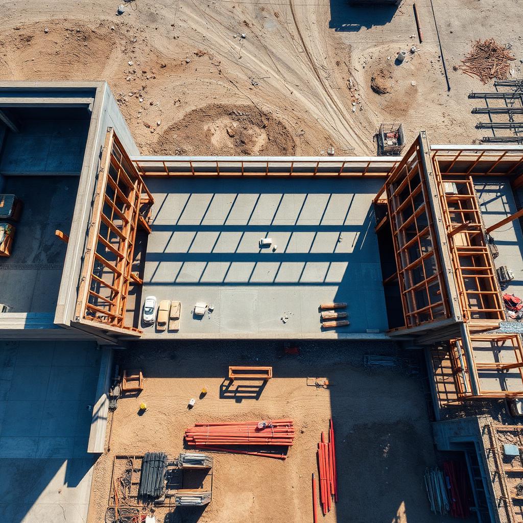
Map a large tract for development planning, drainage review and acreage documentation.
Deliverables
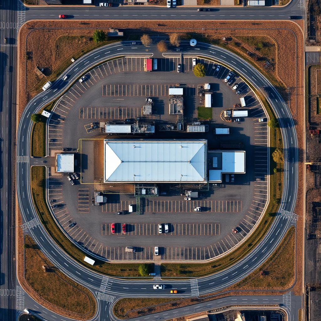
- Orthomosaic (GeoTIFF)
- Digital terrain model
- Contour file (DXF)
- KMZ overview
Results
Planning discussions started from a current, measurable basemap of the tract.
Acreage and boundary figures shown are for planning reference and are not a boundary survey.
Deliverables
Before and after
↔
OrthomosaicRaw capture